
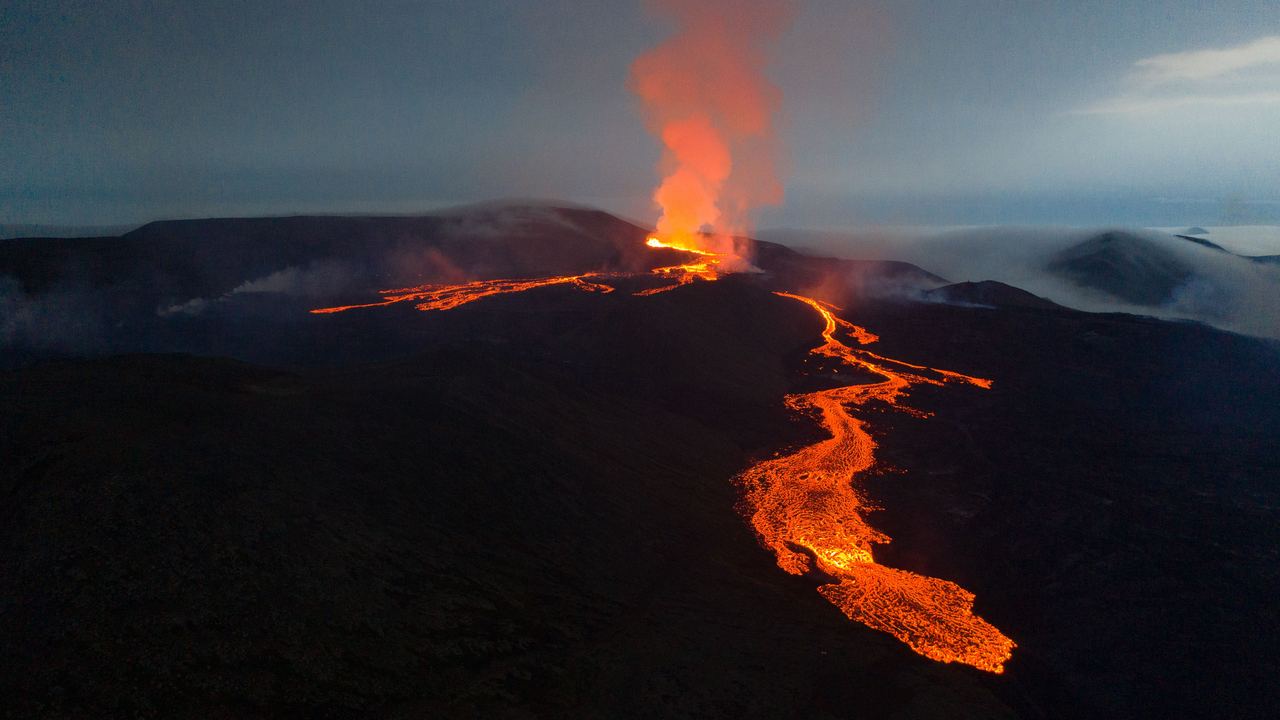
On the evening of 19 March 2021, a fissure 180 metres long opened in an uninhabited valley on the Reykjanes peninsula, about half an hour's drive from Reykjavík. Nothing had erupted on that peninsula for 781 years.
Over the following six months roughly 356,000 people walked out to look at it. On an island of fewer than 400,000 residents, that is a remarkable number, and it made Geldingadalir the most-visited eruption in modern history. It was also, in retrospect, the easy one.
What happened next is the part worth understanding before you plan a trip, because it is not a story about one eruption. It is a story about a region waking up, and the geologists studying it have been unusually clear about the timescale.
The word geologists chose is the whole story
Icelandic has a specific term for a volcanic episode that goes on for years across a rift system: eldar, meaning fires. It has been applied to the Mývatn Fires of 1724 to 1729 and to the Krafla Fires of 1975 to 1984. Both names describe long sequences of separate eruptions from the same restless piece of crust, not single events.
The current episodes have been named the same way in the peer-reviewed literature: the Fagradalsfjall Fires and the Sundhnúkur Fires. One published title even renders the second as running from 2023 with the end date left as a question mark.
I find that naming choice more informative than any forecast. Scientists do not reach for a word meaning a decade-long sequence unless they expect a decade-long sequence.
On the evening of 19 March 2021, after 781 years of quiescence, the Reykjanes Peninsula entered into its fourth Eruption Period in 4,000 years.
What has happened so far
Two sets of Fires, five years
The first sequence was in an empty valley. The second was underneath a town. Same geology, opposite outcome for visitors.
The origins
March 2021
Geldingadalir
The opening act, and by a distance the most visitor-friendly eruption of modern times. Six months of activity in an uninhabited valley within reach of the capital, with managed access, marked paths and gas forecasting. It ended in September.
August 2022
Meradalir
Eighteen days, in the next valley over. Short, sharp, and enough to confirm that the first eruption had not been an isolated event.
The growth
July 2023
Litli-Hrútur
Under four weeks, and the last of the Fagradalsfjall sequence. Between them the three eruptions produced roughly 135 million cubic metres of magma.
Today
From late 2023
Sundhnúkur, and the town
The activity moved about fifteen kilometres west, to the volcanic row beside Grindavík and the Svartsengi power plant. A dyke propagated beneath the town itself. Grindavík was evacuated, defensive barriers were built, and the eruptions that followed happened inside a closed area.
2023 onwards
A rhythm establishes itself
Magma accumulates in a shallow reservoir beneath Svartsengi, the ground inflates, and at a fairly repeatable volume it breaks out again. The pattern has repeated enough times to be described as a cycle rather than a series of surprises.
How long these things last
This is where the historical record is genuinely useful, because Iceland has kept one for a thousand years.
| Episode | Period | Duration | What happened |
|---|---|---|---|
| Medieval Reykjanes Fires | roughly 800 to 1240 AD | over four centuries | The previous cycle on this same peninsula, with lava units spread across the whole span |
| Mývatn Fires | 1724 to 1729 | 5 years | A sequence of eruptions in the Krafla system in the north |
| Krafla Fires | 1975 to 1984 | 9 years | Around twenty separate rifting events, most producing no lava at all |
| Fagradalsfjall Fires | 2021 to 2023 | under 3 years | Three eruptions, all in uninhabited terrain |
| Sundhnúkur Fires | 2023 onwards | still running | Repeated dyke intrusions and eruptions beside an evacuated town |
The Krafla comparison is the most instructive, because it is the same mechanism in the modern instrumental era. Nine years. About twenty rifting events. And most of those events produced no eruption at all, just the ground pulling apart underground, which is a detail that matters if you are planning a trip around seeing something.

The uncomfortable arithmetic
Whether you see it depends on where it opens, not whether it opens
Here is the thing that makes Iceland strange to plan for. The probability of an eruption during a given year is now, by any reasonable reading, fairly high. The probability of you being allowed to walk up to one is a completely separate question, and it is decided by geography.
In 2021 the fissure opened in a valley with nobody in it. The authorities marked routes, forecast gas dispersal, and let people in. Three hundred and fifty six thousand of them.
From late 2023 the activity moved to a spot with a town, a power station, a road and a lagoon on it. The same magma, the same peninsula, a few kilometres west. Access was closed, and stayed closed.
So the honest planning advice is this: do not book a trip to Iceland to see an eruption. Book it for Iceland, which is worth the flight on its own, and understand that if something opens somewhere reachable while you are there, you will have been lucky rather than clever.
What is actually going on underneath
The mechanism is worth a paragraph because it explains the rhythm.
Magma accumulates in a shallow reservoir a few kilometres beneath the Svartsengi area, fed from a much deeper source under Fagradalsfjall at nine to twelve kilometres. As the shallow reservoir fills, the ground above it visibly inflates, which satellite radar and GPS both measure. When the pressure passes a threshold, the crust fails and magma runs sideways into a vertical crack, a dyke, which may or may not reach the surface.
When it does reach the surface, it can move astonishingly fast. Modelling of the November 2023 dyke that ran beneath Grindavík put magma flow rates in the thousands of cubic metres per second, and the crack propagated some fifteen kilometres in a matter of hours. That is why warning times in this sequence have been measured in tens of minutes rather than days.
The whole peninsula has pulled apart by roughly four metres across the episodes measured so far. That is what a plate boundary looks like when you catch it in the act.
What to do with all this if you are going anyway
Check the official source, not a travel page. The Icelandic Meteorological Office runs the monitoring and publishes the hazard assessment for the peninsula, including a map with an explicit valid-until date. Travel sites, including the semi-official ones, have been observed carrying eruption status text that was many months out of date.
Understand what closed means. When Icelandic authorities close an area they mean it, and the reasons are usually gas and ground instability rather than lava, both of which kill people who are otherwise standing somewhere that looks fine.
Do the things that do not depend on it. The 2021 to 2023 lava fields are there, they are extraordinary, and walking on rock that did not exist when you were last thinking about a holiday is its own experience. The lava shows in Reykjavík and Vík run on a timetable. The lava tubes and the Reykjanes geothermal landscape are unaffected by any of this.
And if something does open in a place they let you walk to, drop the itinerary and go. Those windows have historically lasted weeks.
Quick answers
Is it safe to travel to Iceland during this?
Yes. The activity is confined to a small part of one peninsula, monitoring is among the best in the world, and the country is set up for it. Keflavík airport has continued operating throughout. The 2010 Eyjafjallajökull flight disruption came from an ash-producing eruption under a glacier, which is a different kind of event from these fissure eruptions.
Will there be an eruption while I am there?
Nobody can tell you, and anyone who does is guessing. What can be said is structural: this region has entered an eruptive period, the previous ones lasted from years to centuries, and the current cycle has been producing repeated events. Whether one coincides with your dates, and whether it happens somewhere accessible, are two separate rolls of the dice.
Can I still visit the Blue Lagoon?
It sits in the affected area and has closed and reopened several times as conditions changed. Check its own status close to your dates rather than relying on any third-party page, including this one.
Can I walk on the 2021 lava?
Generally yes, on routes that the authorities keep marked, and it is one of the more remarkable walks in Europe. The surface is young a'a and pahoehoe, it is hard on footwear, and some areas retain heat. Follow the marked routes, which exist as much to protect the lava field as to protect you.
The Iceland that does not depend on an eruption
Lava tubes, the Reykjanes geothermal fields, the caldera at Keríð and the lava shows all run to a timetable rather than to a volcano's mood.
Iceland, without waiting for an eruption
Lava fields, tubes, geothermal ground and the lava shows all run to a timetable.
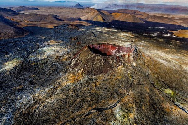
An Hour over Reykjanes by Helicopter, Seltún to the Blue Lagoon
One hour above the Seltún geothermal field, Grænavatn and Kleifarvatn, the lava fields and the Blue Lagoon. Departure is the east side of the city airport.
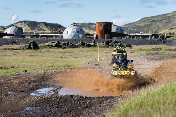
ATV to the Volcanic Springs: a Five-Minute Walk and a Natural Hot Bath
Three and a half hours over lava to the Hengill summit, then the bikes get parked and a five-minute walk reaches a natural hot spring you can get into.
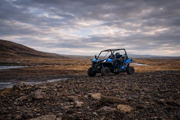
Buggy Across the Lava to Hellisheidi: the Plant That Heats Reykjavik
Two and a half hours over lava to the geothermal plant that supplies Reykjavik's power and hot water, plus the Hengill range and the steam around it.
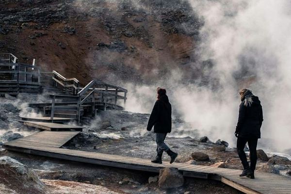
Fagradalsfjall and Meradalir, and the 2023 Sundhnúkur Scars
The peninsula erupted in 2021, 2022 and 2023, and the route across those sites depends on the weather and on what is judged safe that day. Sundhnúkur included.
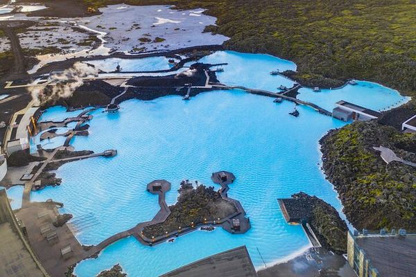
Fagradalsfjall and Meradalir Hike, then the Blue Lagoon: Admission Included
Two hours of walking each way to the 2021 eruption field, then the Blue Lagoon with entry included. Waterproofs and proper shoes needed; jeans are a mistake.
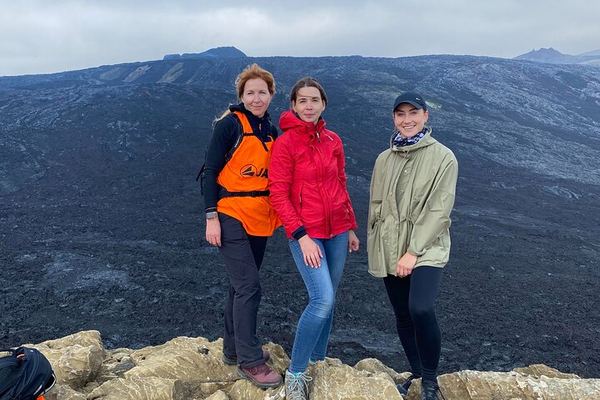
Fagradalsfjall and Reykjanes: Walk Between Two Continents on a 15-Metre Bridge
A moderate hike onto the July 2023 lava, then a 15-metre bridge from the Eurasian plate to the American one, a lighthouse and the mud pots at Gunnuhver.
Ratings collected by Viator, Tripadvisor and Tiqets

Data verified on. Eruption dates and volumes follow published research on the Fagradalsfjall and Sundhnukur Fires. For current status and access, the Icelandic Meteorological Office is the authority. Editorial Policy