
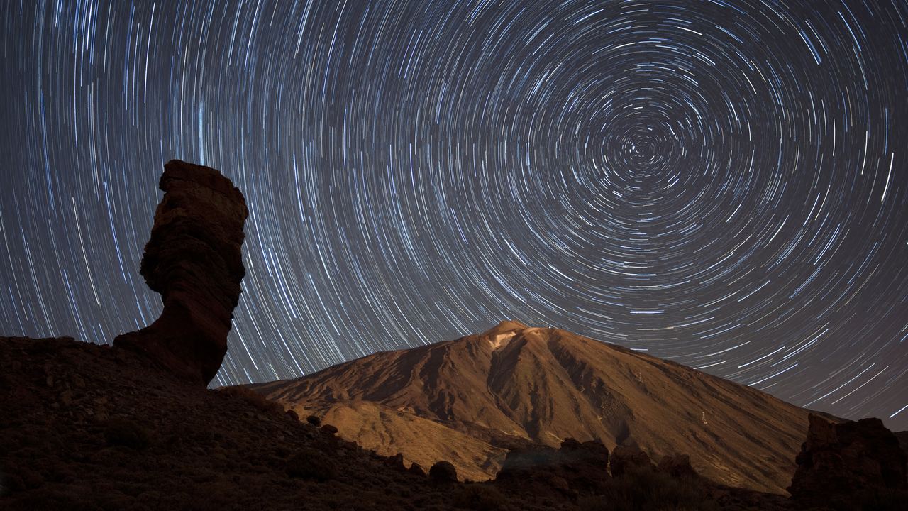
Volcano Travel is a guide to visiting volcanoes, and a catalogue of the tours that go to them. It covers thirty-five destinations across seventeen countries, from a two-hour walk at Vesuvius to a glaciated summit in Ecuador.
It exists because the subject is served badly. Volcano information splits into two kinds: scientific material written for other scientists, which is accurate and unusable, and travel material written to sell, which is usable and frequently wrong. What is missing is the middle, and the middle is where a traveller actually stands.
The rule that shapes everything here
We publish what is structural. We do not publish what is current.
The structural facts about a volcano change on the scale of decades or not at all: the climate, the terrain, the altitude, the permit system, the seasonal opening of a park, the history, the geology. Those we research properly and write down.
The current facts change in days: whether it is erupting, what the alert level is, where the exclusion zone runs, whether the trail is open this morning. Those we deliberately do not publish anywhere on this site, and we link to the national observatory instead.
This is not laziness. It is the single most common failure mode in this field. A page that states a volcano's status is correct on the day it is written and wrong within weeks, and nothing on the page tells the reader which of those they are looking at. We have found official-looking safety pages carrying eruption status text unchanged for eleven months, and one national agency page with an alert state eleven years old.
Being wrong slowly is worse than not answering.
Where the numbers come from
Climate figures are thirty-year normals from national meteorological services, mostly the 1991 to 2020 period that the World Meteorological Organization currently designates. Where an attraction has no weather station, which is most of them, we say which station we used, how far below the summit it sits, and that any summit figure is calculated rather than measured.
Altitudes, distances and access rules come from park authorities, national mapping agencies and published ordinances. On Etna and Stromboli we read the municipal ordinances themselves, which is why our account of the rules differs from what most operators write.
Eruption dates and definitions follow the joint Smithsonian and United States Geological Survey global catalogue.
Sun and daylight figures are calculated with a standard solar algorithm from real coordinates. Astronomy does not expire.
Where we could not verify something, we have left it out or marked it as unverified. There are several places on this site where we say we do not know, and those are deliberate.

What we correct, and how
We have already corrected ourselves twice on this site
When a figure we published turned out to be wrong, we changed it and we did not quietly delete the old one.
Two examples that are still visible. We originally wrote that the 1783 Laki eruption killed a fifth of Iceland's population. That number is real but it is the population decline, much of it births that did not happen; excess deaths were around one in six. Different figure, same catastrophe, and the correct one is now on the page.
We also repeated the common claim that the Ring of Fire holds three quarters of the world's volcanoes. Measured against the standard catalogue it is closer to two thirds.
Neither error would have harmed anybody. We mention them because a site that never corrects itself is either not checking or not telling you.
How we choose what to cover
A destination gets a page here if there is something genuinely volcanic to see and a realistic way for an ordinary traveller to see it. That second condition rules out a great deal.
Some of the most reliably active volcanoes on earth are in places with no airport, no infrastructure, or no security. Dukono in Indonesia has been erupting continuously since 1933 and is not a destination. We would rather say that than pad a list.
We also cover places where the honest answer is disappointing. Arenal in Costa Rica stopped erupting in 2010 after 42 years, and a good deal of material still in circulation promises lava there. Saying so costs us nothing and saves somebody a wasted evening.
How the site is funded
We earn a commission when someone books a tour through a link on this site. The price you pay is the same either way.
Two things follow from that, and it is worth being explicit about both.
What it does not change: the editorial pages. Nothing in this section was written to sell a particular tour, and several pages argue against buying things. We tell you that Stromboli's summit has been closed for years, that Arenal has no lava, that an eruption closes tours rather than improving them, and that the reliable version of several trips is the cheaper one.
What it does change, and you should know: which destinations have deep tour catalogues affects which ones we can list at all. We have written about places with almost nothing bookable, but a site funded this way naturally has more to say about places with a market.
If a recommendation here ever reads as though it was written by the commission rather than by the evidence, we have failed at the thing we are trying to do.
What we would like to add
Three gaps we know about.
Trailhead altitudes. Park authorities publish summit heights almost universally and starting heights almost never, so several of the ascent figures in our difficulty index are calculated by difference. A GPS survey would fix it and we have not done one.
Cloud statistics. The single most useful number for a sunrise trek would be the percentage of mornings the crater is actually visible in a given month, and nobody publishes it. It is computable from satellite imagery, it would be genuinely new, and it is on the list.
Verified opening hours in more countries. Several national park sites publish their rules as images, behind bot protection, or in a language we cannot check with confidence. Where that happened we said so rather than repeating what a blog claimed.
Corrections
If something here is wrong, we want to know, and specifically we want to know if you have stood somewhere we describe and found it different.
Access rules are the most likely thing to be out of date, because they are set locally, change without announcement, and are frequently published somewhere no search engine looks. If a guide told you something that contradicts a page here, the guide is probably right and we would like the detail.
Our editorial standards, including how we handle sources and machine assistance in writing, are set out in the Editorial Policy.
How we read a source
Most of what goes wrong in travel writing about volcanoes is not invention. It is copying: a figure moves from a blog to a bigger blog to a guidebook, and by the fourth hop nobody remembers where it came from or when it was true.
So we work to a hierarchy, and it is worth stating because it explains why some of our pages disagree with the rest of the internet.
| Level | What it is | How we treat it |
|---|---|---|
| 1 | The administrative act itself: an ordinance, a park regulation, a permit system | Decisive. If an operator contradicts it, the operator is wrong |
| 2 | The national agency: meteorological service, volcano observatory, park authority | Authoritative for measurements and status. We link rather than copy |
| 3 | Peer-reviewed literature | Used for mechanism and history. We report disagreement rather than resolving it |
| 4 | Reputable secondary sources | Usable for orientation, never as the sole basis for a number |
| 5 | Operator marketing and aggregators | Evidence of what is being sold, not of what is true |
Two pages on this site exist because of level one. The rule everyone repeats about Etna, that a guide is required above 2,900 metres, is not in any document we could find: the ordinance ties the requirement to a zone drawn by the observatory and to the civil protection alert of the day. And the summit of Stromboli, which is still the image used to sell the climb, has been out of bounds for years by mayoral order.
When levels disagree, we say so instead of choosing. The cost of the Teide permit is described as free by several sources and as subject to public tariffs by the official trail page, and we have not resolved it, so the page says exactly that.
And when we cannot verify something, we leave it out. There are seven such gaps at the moment, listed in our internal notes: the seasonal closure of Rinjani, the night opening hours at Ijen, the climbing rules for Pico, and four others. Every one of them is a thing a competitor states confidently. We would rather have a hole than a guess, because a hole is visible and a guess is not.
Start with the honest question
The one everybody asks first, answered without the marketing: where you can actually see lava, and why the list is so short.
Data verified on. This page describes how the site works. Individual pages carry their own verification dates and sources. Editorial Policy