
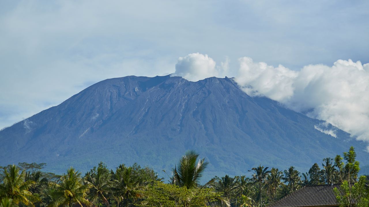
Mount Agung Summit Trek: 3,142 m, and Which Route Reaches It
Seven listings from 47.34 EUR. Pura Pasar Agung is 1,500 m of ascent in 8 hours. Besakih is 2,150 m in 12, and it is the one that reaches the true summit.
Mount Agung is the highest point on Bali at 3,142 metres and the most sacred mountain in Balinese Hinduism, which is not a decorative fact. The mother temple of Besakih sits on its flank, the island's shrines are oriented towards it, and the mountain closes to walkers when the calendar of ceremonies says so. Seven listings sell the climb here, from 47.34 EUR, with 534 reviews between them. That is one seventy-fifth of the review volume Batur carries, and the gap is not marketing. It is 1,500 metres of ascent starting at two in the morning.
Before anything else, a disambiguation that costs people real money. Searches for Mount Agung sunrise trekking routinely return Mount Batur products, because Batur has forty listings and thousands of reviews and Agung has seven. The two mountains are not comparable. Batur is roughly 517 metres of ascent over ninety minutes and can be done by someone with no hiking background. Agung is 1,500 metres over eight hours at minimum. If the listing you are looking at quotes a two-hour climb or a price under 30 EUR, you are not looking at Agung.
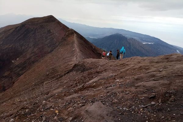
Mount Agung by Moonlight from Besakih: Midnight Start, Crater Rim at Dawn
The walk begins at midnight by flashlight and turns slippery past halfway, with bread and a hot drink on the rocks at the top and the crater rim after.
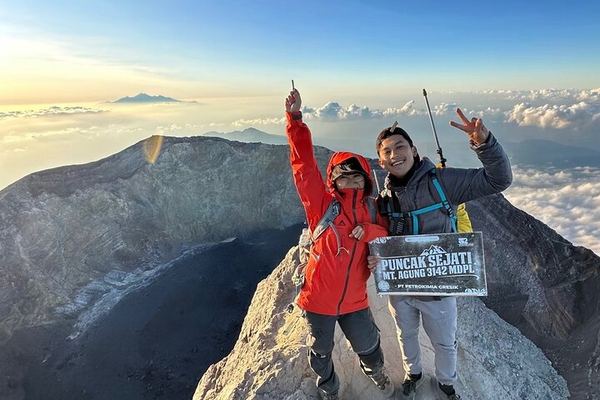
Mount Agung by Night: the 3,142 m Summit or the 2,900 m Route
Two heights on the same mountain, the true summit or the stop at 2,900 m, both walked in the dark over dirt and loose rock with the town lights below.
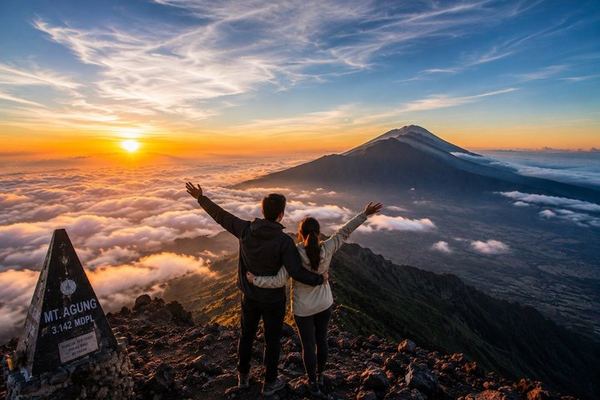
Mount Agung Sunrise: a 22:30 Pick-Up and Four Hours to the Summit
The pick-up is at 22:30 and the climb to the top runs four to four and a half hours, so the operator asks for real fitness. Breakfast comes with it.
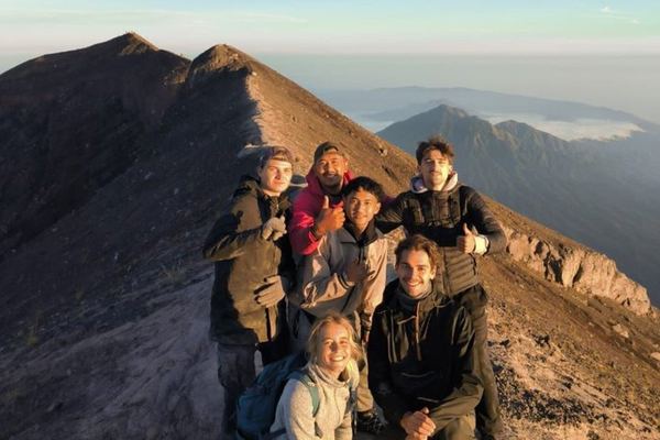
Mount Agung Sunrise: Short Hike or Long, with Safety Gear Provided
Two ascents on one booking, a shorter route for first-timers and the full climb for the rest, with safety gear provided and hotel transfers included.
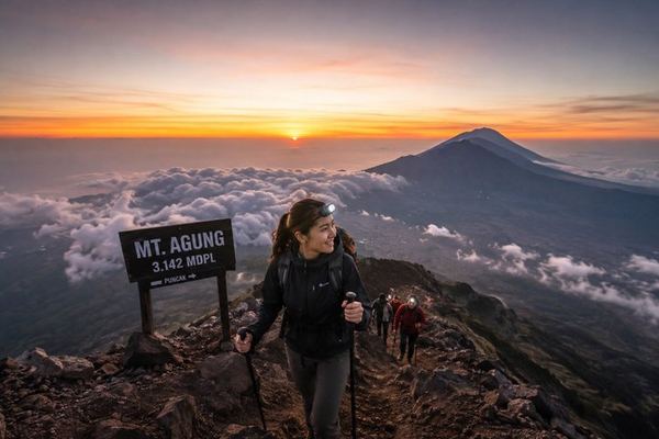
Mount Agung Sunrise with a Guide Who Sets the Pace to Reach the Top in Time
The guide's job on this one is pacing: getting a fit group onto the summit of Agung before dawn, safely, and with stops for photographs on the way up.
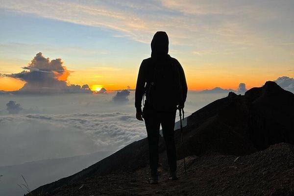
Mount Agung: Three to Four Hours from Pasar Agung, Five to Seven from Besakih
The route decides the night: three to four hours up from Pasar Agung Temple, five to seven from Besakih, on a trail that needs a permit and a guide.
Private Agung Summit from Besakih, or the Crater Rim from Pasar Agung
The temple you start from decides the finish: Besakih reaches the true summit, while Pasar Agung is shorter and stops short of it, at the crater rim.
Ratings collected by Viator and Tripadvisor
Two routes, and only one of them reaches the top
This is the thing to settle before you compare prices, and most listings do not spell it out. There are two established ways up Agung and they produce different days and different summits.
Pura Pasar Agung, on the southern flank, is the short route: about 8 kilometres there and back, 1,500 metres of ascent, and roughly 8 hours on your feet with a departure around two in the morning. It brings you onto the crater rim, and the point it reaches is not the mountain's high point. One operator on this site is unusually straight about it and puts both numbers in its own product title: 3,142 metres and 2,900 metres, as two different things you might be buying.
Besakih, on the southwestern flank and starting at the mother temple, is the long one: 2,150 metres of ascent, about 12 hours, leaving around half past eleven at night. It is the route that stands on the actual summit. It is also four hours longer, 650 metres more of climbing, and considerably harder on the descent.
Neither is a technical climb. Both are long, steep and done in the dark on volcanic ground, and the difference between eight hours and twelve at altitude is larger in the legs than it sounds on paper.
| Pura Pasar Agung | Besakih | |
|---|---|---|
| Total ascent | about 1,500 m | about 2,150 m |
| Distance | about 8 km round trip | Longer, and steeper in the lower half |
| Time on foot | about 8 hours | about 12 hours |
| Departure | around 02:00 | around 23:30 |
| What you reach | The crater rim, stated by one operator as 2,900 m | The true summit at 3,142 m |
| Starts at | A mountain temple on the south flank | The mother temple complex |
| Who takes it | Most of the listings here | The minority, and you have to ask |
The closure nobody publishes
This is the largest operational gap on the mountain and no commercial page anywhere addresses it properly. Between 28 March and 24 April 2026 both routes up Agung were closed to trekkers for religious ceremonies. Twenty-eight days, in a month that is otherwise near the start of the good season, with no volcanological reason whatsoever: the alert level was Normal throughout.
Ceremonial closures on Agung are routine and they are not rare. What does not exist is a published calendar of them. Not on a park website, not in any operator's booking flow, not in the listing text. The dates are set by the temple calendar, become known locally, and travel by word of mouth among guides. A tour booked three months in advance for a date that later falls inside a ceremony is simply cancelled, usually with a refund and always with your itinerary rearranged.
Practical consequence: put Agung early in your trip rather than on the last free day, and ask the operator directly whether anything is scheduled for your dates. They will know, or they will find out. The booking system will not tell you.
A sacred mountain, and what it asks of visitors
Both trailheads are temples. That is not a scenic detail; it changes the terms of the visit. You will pass through temple grounds in the dark, guides make offerings before setting out on some departures, and a sarong is expected at the gate on several listings.
Balinese Hindu custom also excludes menstruating women from temple grounds, and because the climb begins inside one, several operators state this in their conditions. It is a rule about a place of worship rather than about mountaineering, and it is applied at the temple rather than on the path. Whatever a visitor makes of it, it belongs to the community whose mountain this is and it is stated openly at the time of booking rather than produced as a surprise at four in the morning.
The history behind all of this is worth knowing. In 1963 Agung erupted for close to a year and killed more than a thousand people. The flows came down the flanks and stopped short of the Besakih complex, and Balinese Hinduism has never treated that as coincidence. In 2017 the mountain woke again, tens of thousands were evacuated and Denpasar airport shut more than once over the following two years. Climbing stopped completely and came back slowly.
Guides, and a story worth taking seriously
A guide has been treated as compulsory on Agung since January 2025. In February 2025 a foreign visitor was reported to have been deported after climbing it without one. That comes from press reporting rather than a statute you can look up, so treat it as what it is: not a citation you could quote in an argument, and strong practical evidence that going up alone is a bad idea with consequences beyond the mountain.
A related story circulates and should be corrected. The Balinese proposal announced in 2023 to prohibit climbing on 22 mountains, Agung and Batur among them, never came into force. Both are open, both are sold, and every listing on this page is operating legitimately. If you read otherwise, you are reading a 2023 headline that was never followed by a rule.
How fit you need to be, and what the seven listings cost
Operators here are more candid about this than they are about most things. One states that the summit is reachable by physically fit hikers in three to four hours from Pasar Agung. Another offers two options explicitly framed as a shorter easier trek or a longer more challenging ascent. A third describes it as a great experience for physically fit travellers, which in listing language is a warning.
The honest requirement: you should be able to climb 1,500 metres, in the dark, on loose and steep ground, having started at two in the morning, and then come back down the same 1,500 metres on tired legs in daylight heat. If that sentence sounds fine, you will enjoy this. If any part of it sounds unlikely, book Batur and have a good morning instead of a bad night.
The ratings tell their own story. Every Batur group on this site averages 4.9 or 5.0. Agung's seven listings include the lowest rated product in the entire Balinese catalogue at 4.7, and it is one of the busiest of the seven. On a mountain this demanding, some of that is the mountain rather than the operator.
| What you book | Price band | Reviews | Worth knowing |
|---|---|---|---|
| Shared group, Pasar Agung route | 47.34 to 49.96 EUR | 36 to 95 each | The default. Check which point on the rim it reaches |
| Shared group, choice of two routes | 79.36 EUR | 29 | States a shorter easier and a longer harder option |
| Private guide and vehicle | 96.11 EUR | 159 | The most reviewed of the seven, and the most expensive |
| Listing naming both altitudes | 47.34 EUR | 95 | Puts 3,142 m and 2,900 m in its own title. The clearest in the group |
A word on seasons, since there is no table for it here. The dry months from April to October give you the clear summit and the wet ones give you cloud, exactly as they do everywhere else on Bali, and that comparison sits on the country page. On Agung the weather is not the binding constraint. The ceremonial calendar is, it closes the mountain for weeks at a time, and it does not follow the seasons at all. A dry-season table would tell you the less important of the two things.
Twenty-eight days closed in spring 2026, on a mountain at alert Level I, for reasons that have nothing to do with the volcano. No website publishes those dates in advance. Ask your operator, and ask early.
Questions people actually ask
How high is Mount Agung?
3,142 metres, which makes it the highest point on Bali. A figure of 3,031 metres circulates and is less reliable. The number that matters more for planning is the ascent: 1,500 metres from Pura Pasar Agung, or 2,150 metres from Besakih, because that is what your legs will actually do.
Which route should I take?
Pasar Agung if you want the shorter day: 8 kilometres round trip, 1,500 metres of ascent, about 8 hours, leaving around two in the morning. Besakih if you want to stand on the true 3,142 metre summit: 2,150 metres of ascent and about 12 hours, leaving around half past eleven the previous night. Most listings here use Pasar Agung, so if the summit itself matters, ask before you book.
How hard is it compared with Mount Batur?
Not comparable. Batur is roughly 517 metres of ascent over ninety minutes and people with no hiking background do it every morning. Agung is 1,500 metres over eight hours at its shortest. If a search result is offering you an Agung sunrise trek for under 30 EUR with a two-hour climb, it is a Batur product and the two get confused constantly.
Can the climb be cancelled?
Yes, for two separate reasons. Religious ceremonies close both routes for days or weeks at a time, and there is no published calendar of them: both routes were shut from 28 March to 24 April 2026. Separately, a rise in the alert level closes the mountain outright, as happened from 2017. Book Agung early in your trip so a closure does not cost you the mountain entirely.
Do I have to have a guide?
Yes in practice. A guide has been treated as compulsory since January 2025, and a visitor was reported deported in February 2025 for climbing without one. It is also a sensible requirement on its own merits: the route is unmarked in places, it is done in darkness, and the guides know when the mountain is closed and why.
Are there restrictions on who can climb?
Both trailheads are temples, so temple etiquette applies at the start: modest dress, often a sarong, and the customary exclusion of menstruating women from temple grounds, which several operators state in their booking conditions. These are religious rules at a place of worship rather than mountain rules, and they are set out in advance rather than raised on the day.
Is it safe? It erupted recently.
The 2017 to 2019 eruption evacuated tens of thousands and closed Denpasar airport several times, and climbing was suspended throughout. On 12 August 2026 the national geological agency had Agung back at Level I, Normal, the lowest of four. Check the level before you book. The realistic risks on a Level I day are altitude, a very long night and a descent on tired legs.
Data verified on. Route distances, ascents, departure times and prices from the seven Agung listings and published route data. Alert level from the national geological agency, 12 August 2026.